- Call: +91-9873111710
- Email: kedarnathphulwari@gmail.com
About Uss
Contact info
- Our office Phulwari Resort, Uttarakhand.
- Phone +91-9873111710
- Email kedarnathphulwari@gmail.com
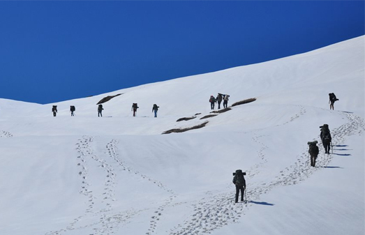
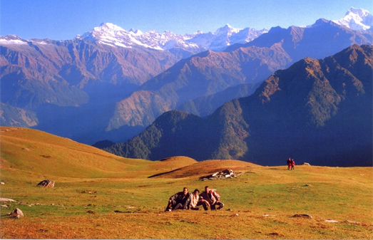
Treks
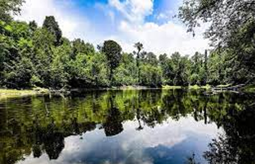
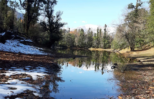
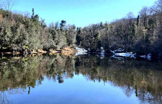
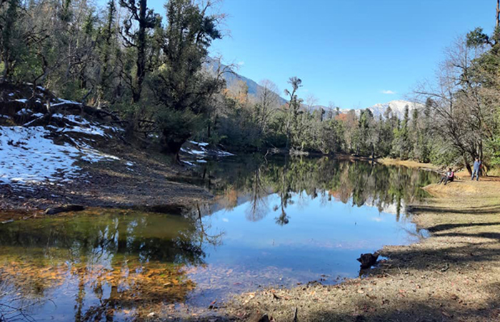
Nag Tal
Nagtal is reached from Phata of Rudraprayag district via Jammu village. From Jammu Village to Nag Tal about 3.5 km. It's beautiful and narrow Trek. Height of this Taal is 9915 feet.
Nag Tal is beautiful lake situated in the lap of nature which is covered with forests on all sides. The Lake is very deep. The color of this Lake appers black but its water is absolutely pure and contains medicines. In this Trek, you will find many small rivers, pools and bugyals, which make you feel like a paradise in this landscape untouched by man.
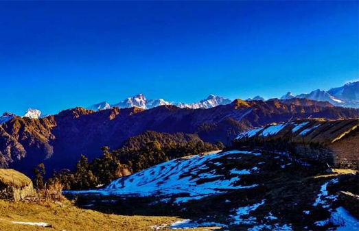
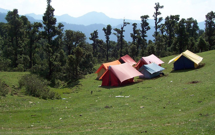
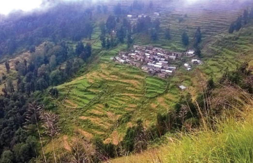
Panwali Kantha Bugyal
One of the most expansive alpine meadows of Garhwal Himalayas, Panwali Kantha is known for its variety of flowering herbs, wildlife, and scenic landscape views.
The meadow is at an elevation of 10827 ft, right between Mandakini & Bhilangana rivers and the Himalayan zone of Tehri & Rudraprayag district of Uttrakhand.
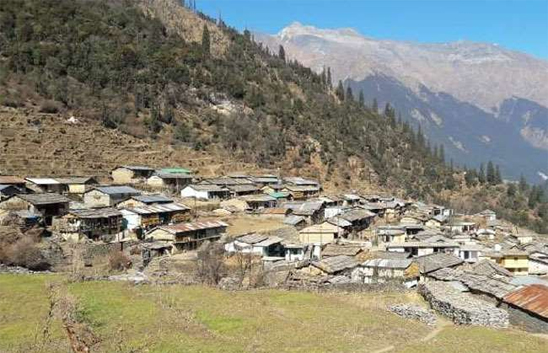
Gangi Gaon
According to Census 2011 information the location code or village code of Gangi village is 042828. Gangi village is located in Ghansali tehsil of Tehri Garhwal district in Uttarakhand, India.
It is situated 50km away from sub-district headquarter Ghansali (tehsildar office) and 111km away from district headquarter New Tehri. As per 2009 stats, Gangi village is also a gram panchayat.